10 September 2018 at 11:29 pm
#8962
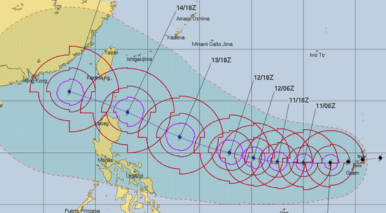
Joint Typhoon Warning Center, basing forecasts on various computer models; notes strong agreements in track; likely to be super typhoon, but in S China Sea indications it may lose strength a lot [seems pretty likely for a typhoon into S China Sea]; or may sustain much of it
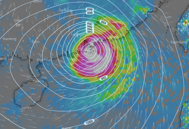
European – ECMWF – model for 6pm Sunday 16 September
GFS via windytv, also, is very similar, but pressure not so low [so less intense]
Remember a small shift to north or south can make big difference, esp if lands to east of HK and powers down over land

rain forecast from ecmwf
Waves forecast; water sloshing about in S China Sea, with monstrous waves around eye

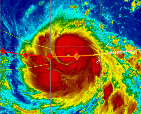
enhanced satellite image of mangkhut; eye clearly visible